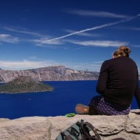
No visit to Sierra City would be complete without sitting on the front porch of the General Store in the middle of town. Indeed, Cheryl Strayed sat here during her PCT hike (as told in her book and the movie Wild) and many PCT hikers before and after have paused here, too, to unpack their resupply boxes, to eat ice cream, and to talk hiker talk of miles ahead and miles behind.

In Sierra City, Cheryl realized how significantly the PCT was changing her. “I was only three weeks into my hike,” she writes, “but everything in me felt altered.” Soaking in the bathtub of her motel (across the street from the General Store), Cheryl relaxed into her own skin. “Someone was in here,” she writes. “It was me. I was here. I felt it in a way I hadn’t in ages: the inside of me, occupying my spot in the fathomless Milky Way.”
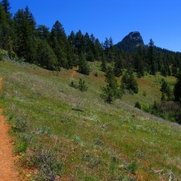
The next morning Cheryl hiked northward on the PCT into the Sierra Buttes, excited to be back on the trail (which she called “home base”) and back in the wilderness.
“Perhaps being amidst the undesecrated beauty of the wilderness meant I too could be undesecrated,” she writes, “regardless of what I’d lost or what had been taken from me, regardless of the regrettable things I’d done to others or myself or the regrettable things that had been done to me. Of all the things I’d been skeptical about, I didn’t feel skeptical about this: the wilderness had a clarity that included me.”
Whether you walk in nature today, or tomorrow, or next month, we wish for you its clarity, too.
Hike in this area
Sierra City/Highway 40, Sierra Buttes Fire Tower, California
The PCT crosses Highway 49 1.5 miles northeast of the mountain community of Sierra City. With a campground, post office, motels, general store, laundromat, restaurants, and close proximity to the trail, Sierra City is both a good resupply spot for longer PCT adventures and an ideal starting point for a day hike or backpacking trip into the Sierra Buttes.

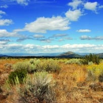
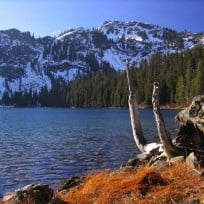
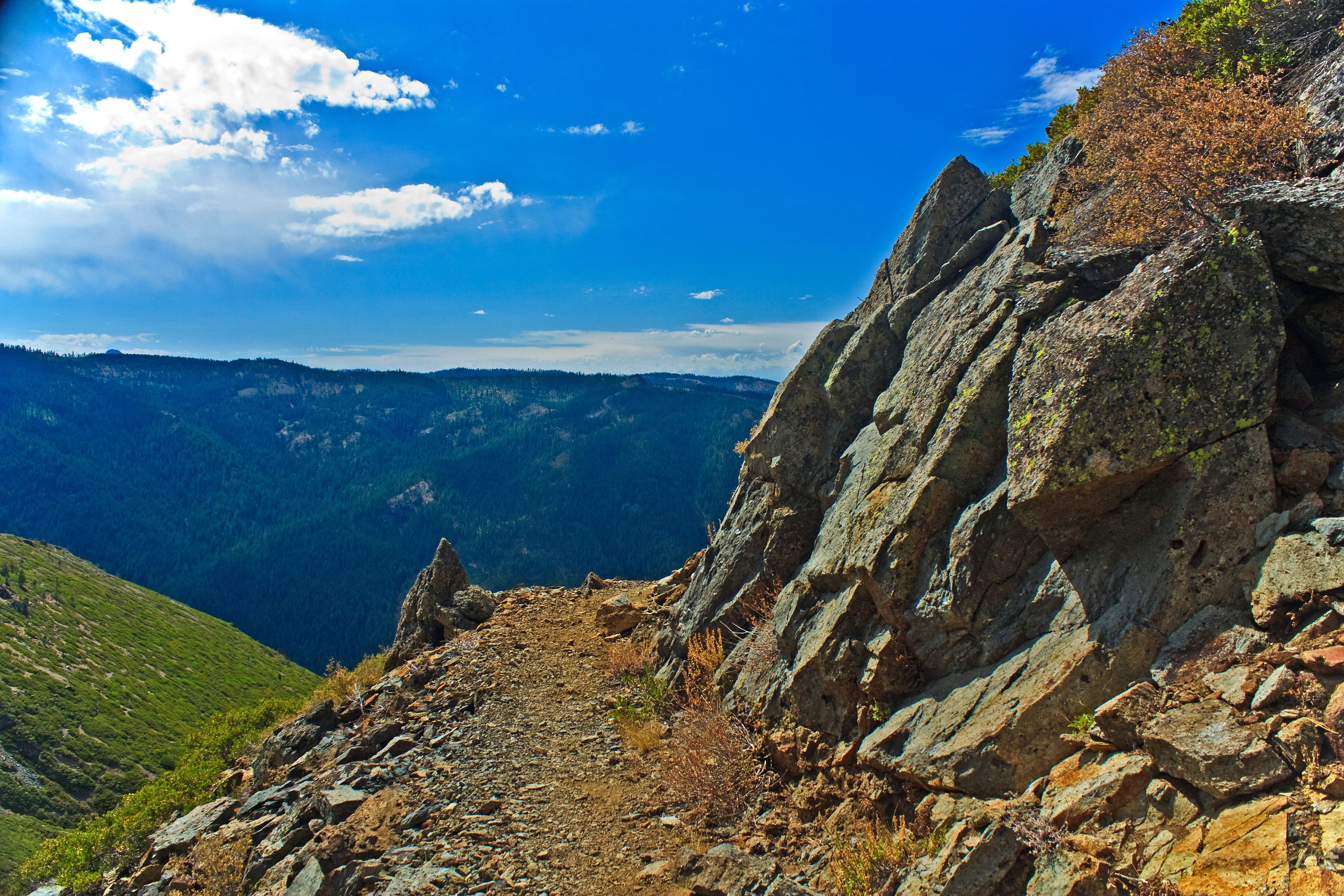
The Sierra Buttes are rugged, thumb-like pinnacles of volcanic rock that jut 8,587 feet into the sky above the North Yuba River Valley. Carved by moving glaciers, the imposing spires provide views south all the way to the Desolation Wilderness and north to the snowy volcanic peak of Mount Lassen, 150 trail miles away.
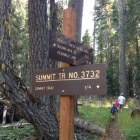
Precariously perched atop the Sierra Buttes’ highest pinnacle is a glass and steel fire lookout tower that leans out over a 600-foot drop. From Sierra City, the climb to the top of the Sierra Buttes and the fire tower is a dramatic 16.8-mile (round trip) day hike. Begin where the PCT crosses Highway 49 1.5 miles northeast of Sierra City. Follow the trail north as it climbs 4,000 feet over 8 miles. Most of this climb is along dry exposed terrain and through shadeless chaparral so bring plenty of water. On the ridge, a marked side trail leads 1.5 miles and 1,400 feet up to the Sierra Buttes fire tower. If you suffer from a fear of heights or vertigo, then you may want to stop at the base of the tower; otherwise, climb its 178 steps to the metal-and-glass cage and observation walkway above. Be aware that in high winds the whole structure may shake, and parts of the stairway hang over empty space.

A shorter day hike to the tower is also possible if you drive part or all of the way up the Sierra Buttes jeep road and hike the remaining distance. Or, take an alternate hiking route from Packer Saddle, located above Packer Lake, up the gentler west-facing slope of the buttes.
Distance: 16.8-mile (round trip) from Highway 49 to the summit of the Sierra Buttes.
Trailhead driving directions: The PCT crosses Highway 49 1.5 miles northeast of the mountain community Sierra City. Look for the sign on the highway that marks the PCT.
Agency jurisdiction: Tahoe National Forest
Permits: For stoves and fires, a campfire permit is required.
Special regulations: none
Region: Northern Sierra; Section M
Maps: